








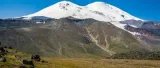

The wild, quiet side: no lifts, far fewer people, comfortable base-camp huts (and a sauna) on Emanuel Glade, everything climbed on foot, finishing on the East summit at 5,621 m.
The north side of Elbrus is the other mountain. There are no cable cars, no chairlifts and no snowcats, you climb every metre on foot, from a base camp on the high meadows of Emanuel Glade at about 2,500 m8,202 ft, up past the Lenz Rocks to the East summit at 5,621 m18,442 ft. Far fewer people come here, and the ones who do get the sense of a real mountain expedition that the developed south side has traded away. It takes longer (usually ten or eleven days against the south's eight) and it asks more of you.
What surprises people is that the north route is not the tents-in-the-snow ordeal the word "wild" suggests. The base camp on Emanuel Glade has comfortable huts and even a sauna, fed by the mineral springs nearby, and there are huts at the high camp higher up too, you can climb the whole route sleeping in shelter, not canvas. What you give up is the lift-served speed and the crowds. What you get back is quiet, and a mountain that feels earned. Note too that the north route traditionally finishes on the East summit rather than the higher West top; strong, well-acclimatized parties can go on to cross to the West, but most stop on the East.
The pages below follow the climb in order: the approach to Emanuel Glade and base camp, the acclimatization climb towards the Lenz Rocks, and summit day. If you are still weighing this route against the south, the comparison is on the Choosing your route page.
Maps & profiles
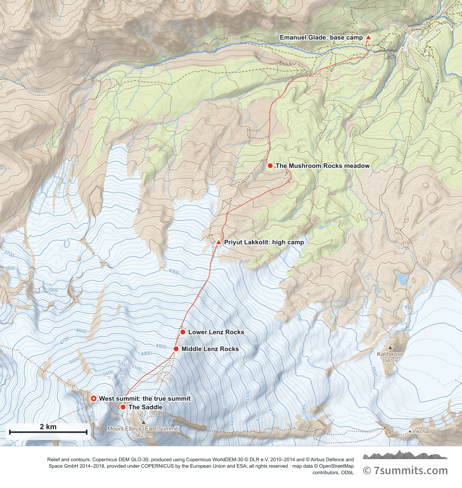
Point at the route or drag along the profile to see the height and the distance walked.
GPX files
Download the North route track
Navigation aid only, not a substitute for your own judgement, current conditions or local knowledge. Elevations are modelled from open terrain data, not surveyed.
Sources, credits and licence
© OpenStreetMap contributors (ODbL). Licence: See source. Source data
Waypoints
WGS84 decimal degrees. Elevations are modelled from open terrain data (roughly 20–50 m low on snow and ice), not published camp altitudes: read them as approximate positions, not pitches.
| Waypoint | Latitude | Longitude | m | ft |
|---|---|---|---|---|
| Emanuel Glade: base camp (2,500 m) | 43.43687 | 42.52624 | 2,500 | 8,202 |
| The Mushroom Rocks meadow (3,060 m) | 43.40687 | 42.49466 | 3,060 | 10,039 |
| Priyut Lakkolit: high camp (3,765 m) | 43.38900 | 42.47809 | 3,765 | 12,352 |
| Lower Lenz Rocks (4,600 m) | 43.36797 | 42.46655 | 4,600 | 15,092 |
| Middle Lenz Rocks (4,800 m) | 43.36403 | 42.46438 | 4,800 | 15,748 |
| The Saddle (5,373 m) | 43.35041 | 42.44731 | 5,373 | 17,628 |
| West summit: the true summit (5,642 m) | 43.35241 | 42.43784 | 5,642 | 18,510 |
Links to other people’s recordings, hosted by them. Compare and cross-check: never assume any single line is safe.